
Synopsis:
Impact of climate change on global food production
Food security challenges
Inherent risks in food supply chain management
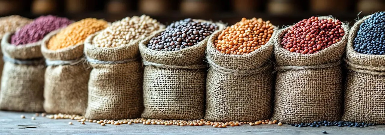
A real-world example: The cocoa crunch: The International Cocoa Organization (ICCO) reports a projected deficit of 374,000 tonnes for the 2023-24 cocoa season (74,000 tonnes in 2022-23). This highlights the urgency of diversification. However, brands face challenges like maintaining quality and avoiding delivery disruptions when sourcing from new regions.
Need to de-risk supply chain by expansion, stay a step ahead in the future of food
Expanding into new geographies can mitigate production risks. But choosing the right regions is crucial. Here’s where agri-intelligence steps in. It helps identify suitable areas and establish partnerships with local farmers, ensuring responsiveness to future challenges.
The business case for geographic expansion
- Identifying vulnerable supply chains
- Collaborating to devise comprehensive strategies with actionable steps
- Yield improvement through climate-resilient practices
- Exploring alternative cultivation regions
- Implementing logistics redundancies

Traditilnal approaches of business expansion and its limitations
Agriculture intelligence: a proactive solution for business expansion for food companies
Data powerhouse: Cropin’s Regional intelligence leverages a vast pool of data – weather patterns, soil analysis with open-source maps (like SoilGrids), satellite imagery, and historical crop yields.

Crop suitability grid intelligence
Crop suitability grid analysis:
a) Crop map & yield map:
- Acreage of the chosen crop and its historical yield performance for each season within each grid.
- Comparison between historical trends and the current/immediate last season.
- A minimum of two years of historical data is recommended for robust trend analysis.
b) Long-term weather normals:
- Weather data for each grid across the analyzed time frame.
- Comparison of seasonal weather data with long-term normals and suitable growing conditions.
- Enables attribution of potential yield and crop trend variations to weather patterns.
c) Crop potential score:
- Score is based on weather and climatic conditions, along with available soil pH, soil texture, soil organic carbon (soc), elevation, slope, and others.
- Assesses the potential of each grid for the chosen crop beyond historical trends.
d) Disease pressure map:
- Risk category score for crop-specific diseases within each grid.
- Available for each season, covering the past two years and the current/immediate last season.
Cropin’s regional intelligence harnesses the power of data to unveil hidden regions with high potential. Cropin analyses Weather and topography models, Dynamic land-use land-cover patterns (LULC), Crop Identification, and more to monitor crop growth across vast areas and connect your businesses to suitable regions with similar parameters in emerging sustainable markets.
- Dynamic LULC
- Crop identification
- Identification of Best-performing regions
- Insights on high-stress and high-yield areas
- Understanding the correlation between crop performance & weather and other contributing factors
- Diversification Opportunities: Identify under-supplied crops with high demand in eco-conscious markets.
- Weather Patterns: Use weather data provided by third-party sources to identify weather patterns in a region with in-built intelligence about events like possible droughts and storms.
- Sustainable Supply Chains: Collaborate with regional farmers with best-performing grids to source ethically grown produce with first-mile traceability.
- Precision Resource Allocation: Optimize water use, minimize waste, and boost productivity based on regional climate and soil conditions.
Case point:
Time travel to the future with “Cropin Sage” to understand the future potential of a region